New Features Added to Six APIs

We are excited to announce many new features added to some of our popular APIs. The enhancements span across a variety of business needs such as front-end development, routing scenarios, and improved data and search. All the features mentioned in this post are available today by using the latest release of each respective API. Let’s explore what is new per API…
New in Vector Tiles API
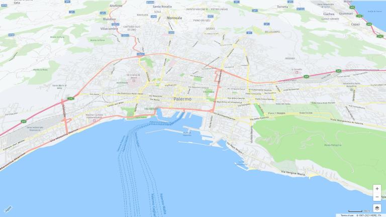
The Vector Tile API is a service that allows graphical tiles to be requested – usually from a tile service platform such as HERE Maps API for JavaScript, Mapbox, or Harp.gl to name a few. The latest release now supports the following:
- Client-side map customization supported by the HERE map style editor, enabling simplified design and management of a map’s “look and feel”
- Client-side object identification to allow interaction with map content
- Support for multiple political views - Support to produce higher resolution maps
For more information, please check out the Vector Tiles API guide.
New in Geocoding & Search API
Not too long ago, we consolidated our Geocoding API and Places API into our new Geocoding and Search API. With this API, you can request data through geocoding (forward and backwards) and via search criteria. In addition to overall improvements to coverage and data accuracy, the main new feature is with regard to geocoding – it now recognized Points of Interest (POI), matches them, and returns the address and a matching place!
For more information, please check out the Geocoding & Search API guide.
New in Routing API
Our Routing API provides services to support custom navigation between two or more locations. In addition to overall performance and quality improvements to core routing algorithm, the latest release now supports the following:
- Two-Wheeler routing using specific road segment and adopted speed profiles
- Charge aware EV routing finding fastest routes considering optimized charging stops
- Taxi mode using Taxi specific lanes and access regulations
For more information, please check out the Routing API guide.
New in Intermodal Routing API
The Intermodal Routing API offers an innovative and smart routing experience. This is possible when the consolidated public transit offer is intertwined with external mobility services dynamically scattered in urban areas. This scenario opens a wide set of ready-to-use mobility options to quickly and better navigate between a given pair of locations. Here are the additional benefits now available:
- The API now returns transit only and intermodal routes in one response, and are compared from a duration, number of transfers and cost perspective to provide the most effective commuting experience
- Support for additional mobility modes - by integrating public GBFS (General Bikeshare Feed Specification) feed, which is providing real-time information of hundreds of bicycle sharing systems around the world
- Flexible combination of transit with micro-mobility options to cover first and last mile
- Taxi/e-hailing mobility that allows intermodal combination of Taxi and Transit
For more information, please check out the Intermodal Routing API guide.
New in Matrix Routing API
The Matrix Routing API is a service that calculates routing matrices. A routing matrix is a matrix with rows labeled by origins and columns by destinations. Each entry of the matrix is travel time or distance from the origin to the destination. New features include:
- Support for up to 10,000 origins and 10,000 destinations
- Support for new routing modes:
o Two-Wheeler routing
o Bicycle routing
For more information, please check out the Matrix Routing API guide.
New in Transit API
The Transit API allows discovery of public transit options, to request public transit routes and transit related information. Here are the new features which improve functionality:
- Station Search now supports access points data, so it is possible to search for stations’ specific exits and gates (useful for pick-up or drop-off use case)
- New improved iteration of Service Alerts feature
For more information, please check out the Transit API guide.
Summary
We encourage developers to evaluate the new features discussed in the post. If you are new to HERE APIs, please sign up for a freemium account to start exploring our location services APIs today!
Have your say
Sign up for our newsletter
Why sign up:
- Latest offers and discounts
- Tailored content delivered weekly
- Exclusive events
- One click to unsubscribe