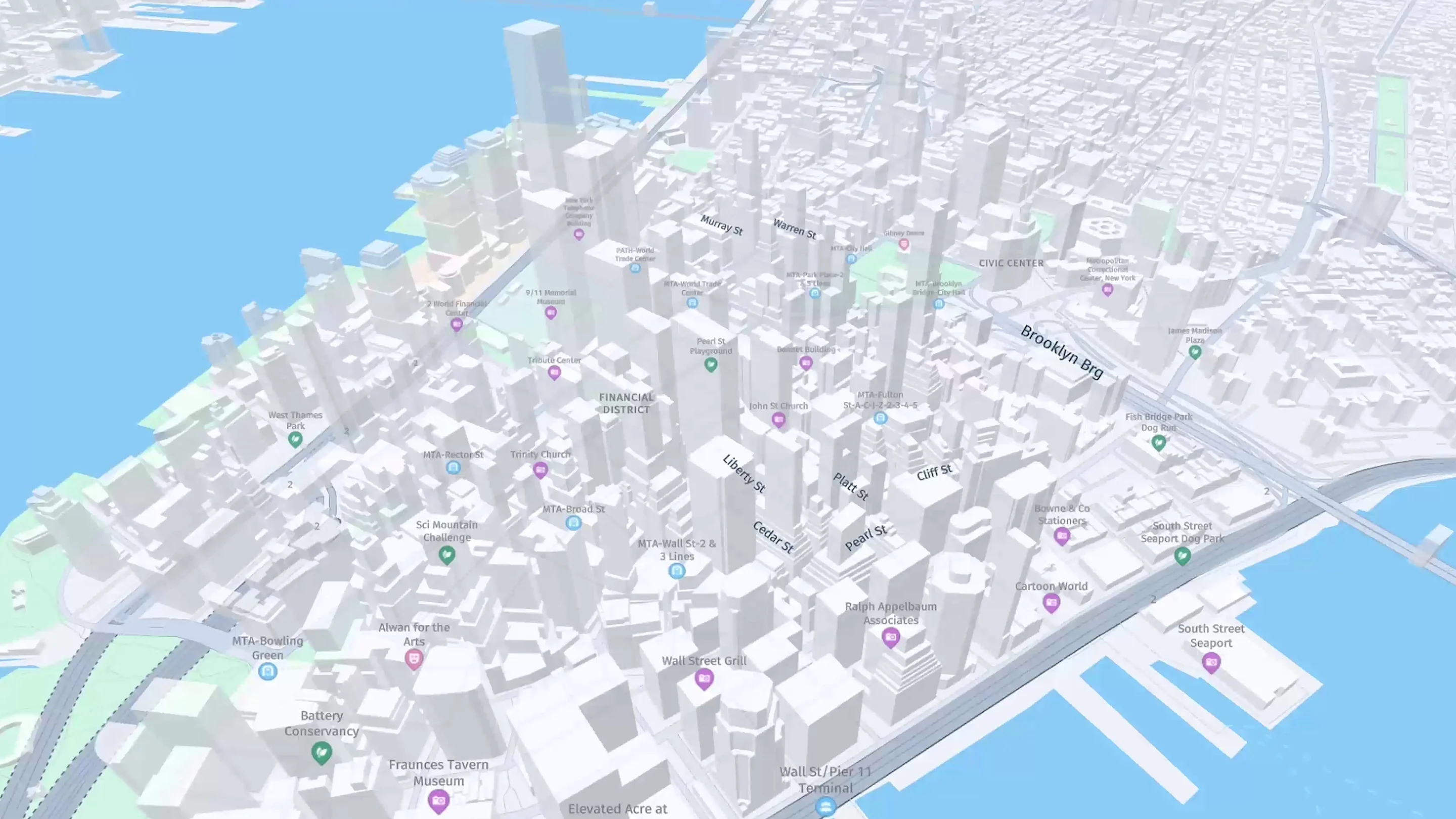
Import, style, display and customize map appearance towards your specific customer use cases or brand guidelines. Configure the look and feel of your map by changing the color, icon size, width, length and other properties.

Use contextual and intuitive map displays powered by unique map attributes, including millions of real-time updates across the globe. Display real-time location date using HERE's easy-to-use visualization tools and libraries, for data sets of any size.

Discover high-quality maps with worldwide coverage in over 190 countries, featuring a native design to fit your application's look and feel.
Build applications using maps and satellite tiles with a variety of map styles and display options (base, satellite, hybrid, day/night, geopolitical views, etc.). Power use cases with specially designed features for the Transportation and Logistics space (e.g., Truck Restrictions and Environmental Zones).

a
Read about how HERE Tour Planning allowed METRO.digital to achieve operational efficiency, flexibility and continual business innovation to increase customer satisfaction by 13%, increase fleet planning automation by 37% and enable late orders.
HERE offers the most comprehensive solution in the market, especially considering how many countries we operate in.
Robert Vilcea
Product Manager at METRO.digital
a
Read about how HERE Tour Planning allowed METRO.digital to achieve operational efficiency, flexibility and continual business innovation to increase customer satisfaction by 13%, increase fleet planning automation by 37% and enable late orders.
HERE offers the most comprehensive solution in the market, especially considering how many countries we operate in.
Robert Vilcea
Product Manager at METRO.digital
Learn how to use HERE's JavaScript Map API by creating a web application for Waterfall Express – a start-up specializing in bespoke adventure travel itineraries. Your app will plan and display routes based on the client's starting point, preferred mode of transport and multiple destinations by searching for locations of interest.


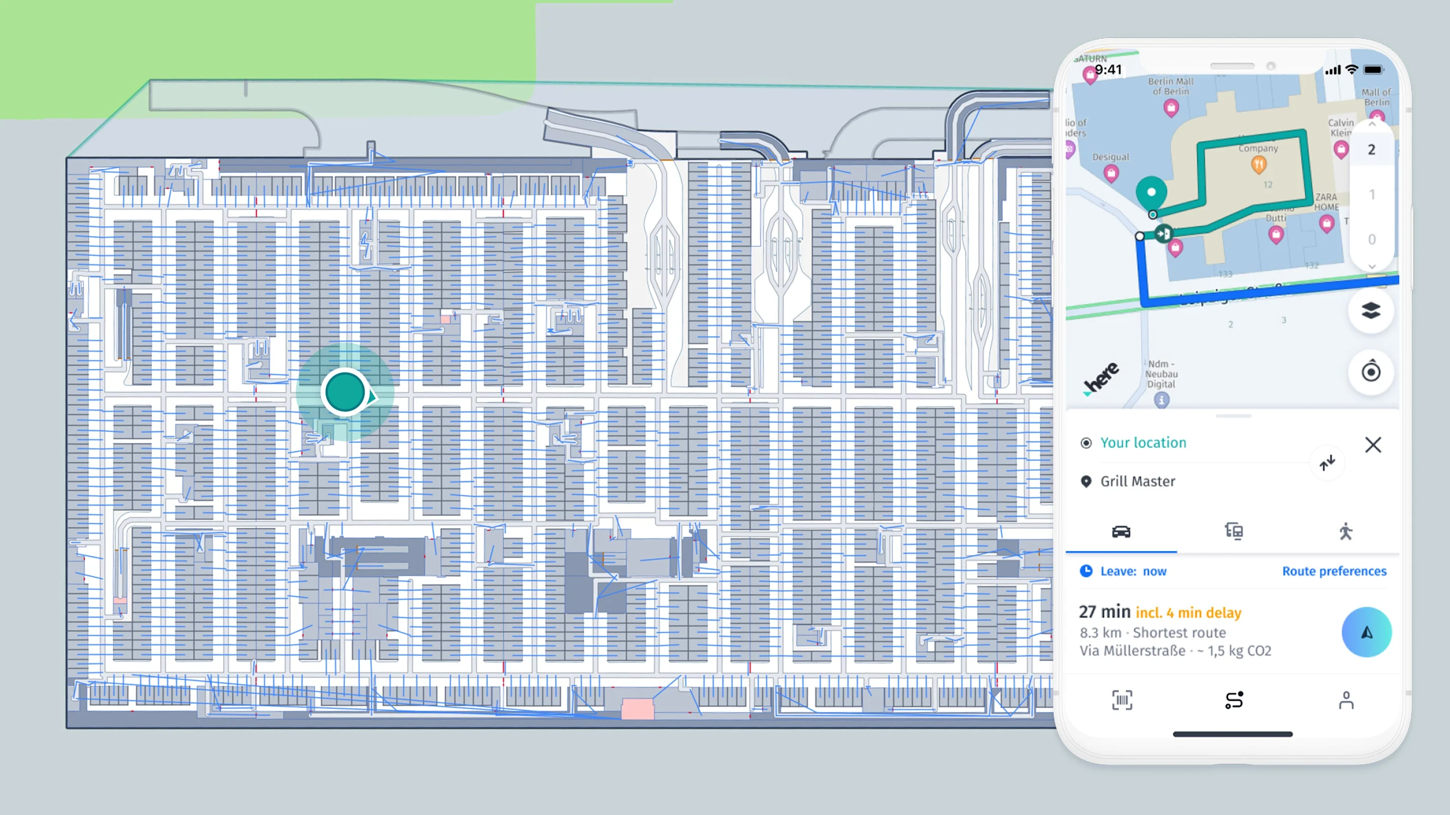
Let's discuss how you can build location intelligence into your solutions.