The reasons we're stuck in traffic and how to avoid them
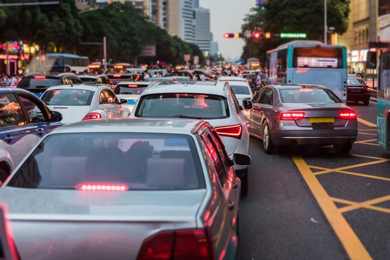
Putting technology to one of the most frustrating of tests, HERE360 examines how location intelligence can help you avoid congested streets.
HERE360 has regularly explored how individuals and fleets can better manage traffic and the hazards that come with moving through congested streets. We've discussed routing for traffic and construction zones; preventing and decreasing crashes; improving deliveries in congested cities; and how COVID-19 changed our driving patterns.
Arranged into the most relevant traffic-related issues, this article is a resource for those interested in learning more about how location technology can help you manage the ins and outs of traffic and avoid its tolls.
Traffic analytics
The key to dodging traffic is in understanding its patterns.
For decades, traffic modeling offered insight into improving road conditions. Initially, data was collected from sensors and cameras installed along roads to monitor the speed and quantity of vehicles. This was expensive and limited in capabilities: cameras can easily break down and are susceptible to vandalism, and capture only a small range of information. A traffic jam out of the camera's view, for example, wouldn't be recorded.
Now real-time traffic data and advanced analytic solutions are transforming the tools transportation planners, governments, and policymakers have at their disposal. With millions of mobile devices in use within vehicles and onboard vehicle sensors, there is a massive amount of “big data" available, resulting in more specific traffic analytics.
Traffic analytics helps answer questions like, how can we ease congestion at rush hour? How do construction zones impact traffic? How fast are people driving through this roundabout? To solve these and other complex issues HERE collects and processes trillions of traffic data points each day, allowing businesses and government agencies a better look at how roads and drivers are performing.
HERE Traffic Analytics helps road safety companies like Via to power their monitoring and modeling software. It also helps insurance firms and fleet managers, and consumers, create and benefit from more accurate insurance policies, based on detailed driving records and behavior. In addition, the HERE Traffic API can help in both everyday and stressful situations by providing detailed, real-time incident and traffic flow data following an emergency or other catastrophe.
According to the Texas A&M Transportation Institute, drivers in LA in 2019 spent more than three days each year stuck in traffic.
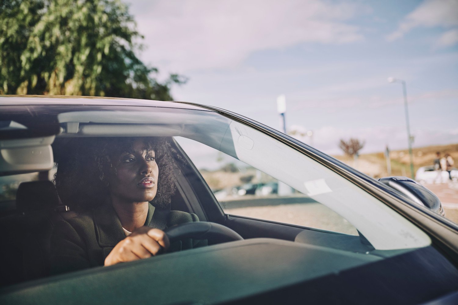
Driving stress
It's probably safe to say that most drivers don't know enough about the exact causes of traffic and congestion even though it's a major player in the cause of everyday stress.
Location technology can ease road anxiety with connected driving solutions that can adjust the maximum driving speed as congestion levels change; or with real-time SATNAV services, which can help you estimate travel time or avoid missing a turn. In the end, being more certain of the road ahead can help make drivers less apprehensive.
With this in mind, HERE and Garmin nüviCam created a navigation device to help reduce driver stress. Features include driver alerts when the car is getting too close to other vehicles or drifting out of the lane.
Not only can driving in traffic be hair-raising, but a lack of updated traffic info can also result in serious losses via late deliveries or slow emergency response times. Fleet managers, dispatchers, and first responders need to know the most current road conditions to reduce risk and stay efficient.
Telogis, a mobile management software provider, for example, is using HERE Traffic and Traffic Patterns in their routing software for more accurate planning. Their solution uses commercial navigation tools, route and schedule optimization, and mobile apps to increase the accuracy of ETAs.
Once a fleet is on the road, it can be difficult for managers to maintain safety standards. HERE Traffic plays a part in helping drivers follow road regulations and make improvements to their driving patterns.
Drivers are measured on metrics such as braking, acceleration, speeding, stop sign obeyance, and cornering. Driving and traffic data help to provide an additional layer of safety to an otherwise obscure part of everyday business life.
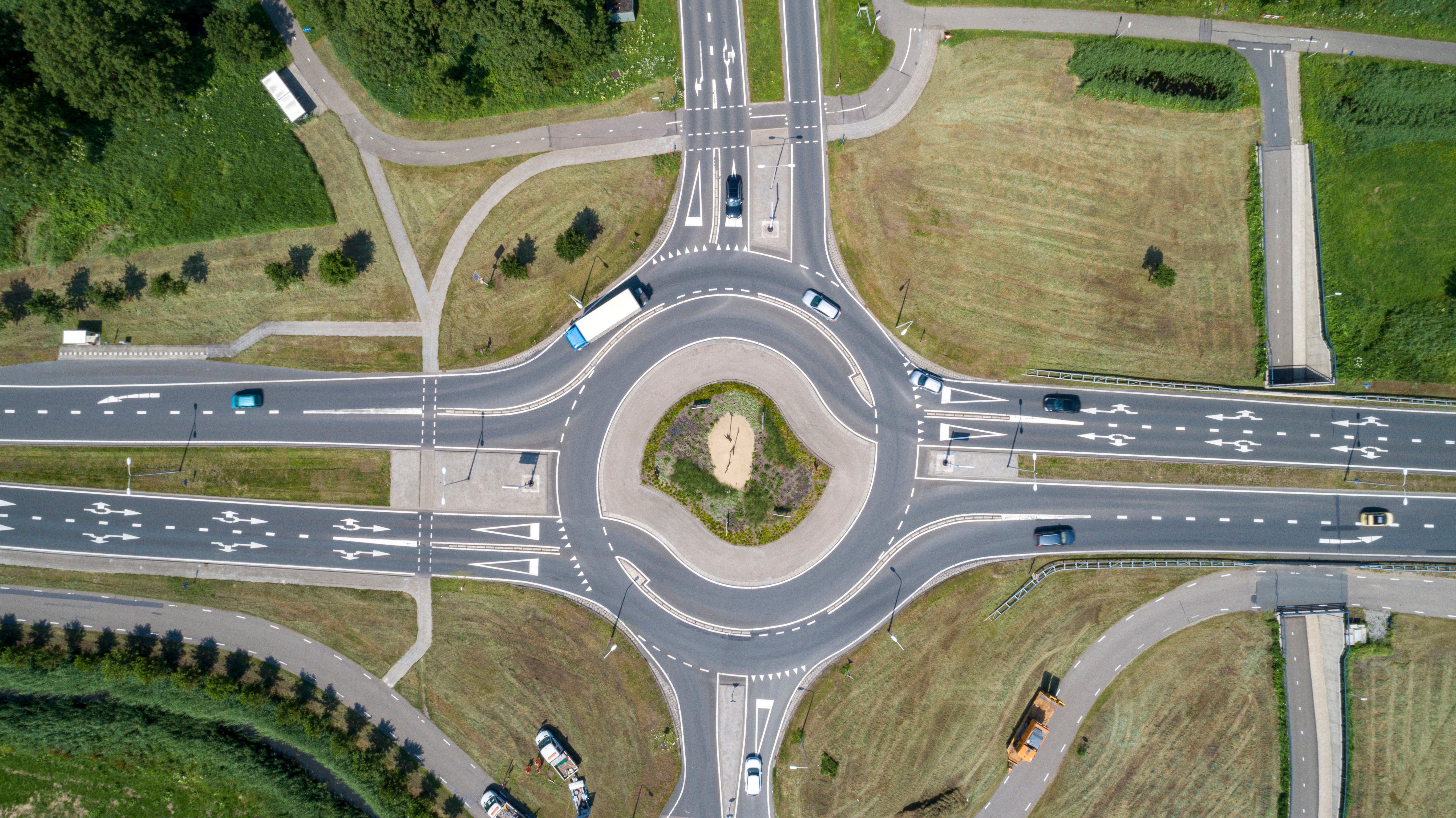
DriveSmartBC says that streets with roundabouts and yield signs reduce crashes by 37% and fatalities by 90%.
Live and real-time traffic
There's actual science behind figuring out traffic patterns. It goes back to 1933 when traffic engineer, Bruce Greenshield, used a movie camera to record a section of a highway, how many cars passed him, how long it took them to go by. He discovered a connection between density and speed; as the number of cars per mile increases, the speed decreases until eventually all cars stop in the most aggravating of scenarios; a jam.
Gaining an understanding of traffic jams is especially important in places like Australia where most traffic jams happen directly in cities rather than on the highways due to the distance between urban centers and a still-developing public transit system.
Garmin-Australia knows how unique their country's traffic can be and integrated HERE Traffic into their SAT-NAV devices including the XM traffic feed. Its updates are always accurate, with incident reports refreshed once per minute all day, each day, giving people enough time to change their route to avoid obstructions.
HERE Traffic has expansive real-time coverage in over fifty countries, including Bahrain, Kuwait, Oman, and Qatar. With GPS probe data, HERE Traffic can help identify traffic jams and when vehicles are slowing down for an obstruction. While sensor data from automobiles can detect when a “hard brake" is applied allowing for faster traffic safety warnings, alerting other drivers in the area to slow down, and making roads safer.
Live traffic maps
HERE Maps can prioritize different sets of information depending on the user and the kind of route they are seeking. "Normal mode" might give viewers an overview of streets, parks, and waterways while switching to "transit" or "traffic mode" gives detailed data about transportation. In the "traffic" view, road changes like construction, appear as colored icons on the map, while other less relevant icons become black.
In 2018, Hyundai models were equipped with HERE Maps and navigation tech to provide their drivers with the real-time information needed to make safer driving decisions. Congested roadways, working zones, efficient routes, and travel times are viewed and managed on the in-car infotainment screen.
While making sure everyday drivers can get from A to B with ease is a priority, when special visitors arrive from out of town, let's say the Pope, following traffic maps and gaining road awareness becomes particularly important.
Traffic hazards
Not just boring and annoying, driving in traffic can be dangerous.
Cities in India, for example, have some of the worst roads (filled with potholes and other unmarked dangers) leading to severe traffic jams and dangerous situations that too often lead to fatalities.
A leader in crash-avoidance tech, Swedish car company Volvo has been working with preventative technology since 2006 in an effort to reduce the number of collisions. Their city safety system includes automatic braking if the driver turns in front of an oncoming vehicle and automatic braking at intersections. Subaru is also working towards reducing crashes with its “EyeSight" tech that features a camera mounted on the top of the windshield to detect potential collisions and take the necessary precautions.
Similarly, HERE Hazard Warnings aims to create a safer driving era by collecting sensor data from various automakers. This, in turn, can alert drivers to hazards like slippery roads, or excessive speed helping them to slow down, change lanes or even alter their course.
Driving at night is another common problem as visibility decreases with lowering light levels and potentially slick roads due to cooler temperatures.
HERE ADAS (Advanced Driver Assistance Systems) can help drivers make more informed decisions after dark with features like safety warnings, intelligent speed control, and automated lane changing in addition to drawing attention to hard-to-see cyclists and pedestrians.
When driving in a rural environment, pedestrians may not be such a concern. But don't forget about the animals. Reindeer can run at speeds of 37– 50 mph (60–80 km/h) or alternatively, meander slowly across the road. HERE collaborated with the Centre for Economic Development, Transport and the Environment in Lapland (ELY), the Finnish Reindeer Herders Association, the Finnish Lapland Center for Economic Development, and Paikkatieto Online Oy to reduce vehicle-reindeer collisions.
And, then there are teenagers. Driving for the first time is exciting, resulting in too many young drivers not paying close enough attention to the road or the drivers around them. Using location technology, Chevrolet's “Buckle to Drive" offers a set of teen-specific alerts and safety alerts including gearshift control, maximum speed, and audio volume limitations.
In America, up to forty-one percent of teenagers don't always put on a seat belt.
Traffic congestion
There are more than one hundred reasons why someone might get stuck in traffic. There's Monday to Friday rush hour congestion, long weekend blockages, Sunday driving bottlenecks, and not to forget, special occasion clogging, New Year's Eve for example.
One of the most common causes for increased bumper-to-bumper driving is actually the summer season itself. As people take to the roads for their allotted time off, heading to cabins, beaches, or visiting family in other cities, roads can get hectic.
One of the most unexpected sources of traffic jams is eclipses. Happening every eighteen months, eclipse viewers have the chance to see the sun, or the moon, surpass each other in their orbital path. Thrilling as it is, it also creates what the Oregon Department of Transportation called in 2017 “the biggest traffic event in history".
But in 2020, perhaps for the first time in many of our lifetimes, we actually saw the severity of traffic decrease due to stay-at-home COVID regulations. While we can't rely on a pandemic to reduce congestion every year (luckily) what can we do is turn to data-fueled maps and real-time traffic information to help us avoid vehicle-dense areas and make better driving decisions.
Pollution
Traffic not only causes crashes and delays but air pollution as well. According to a 2016 OECD report, outdoor air pollution could cause between six and nine million premature deaths by the year 2060. Childhood asthma is another side effect of living with poor air quality making cities like London, Madrid, and Toyko work towards greener transport options including low-emissions zones and bicycle lanes.
As privately owned vehicle numbers increase due to COVID and avoidance of public transit systems worldwide becomes the norm, we can take some comfort in knowing that the data that cars produce can help us to reduce emissions. With real-time, predictive, and historic traffic flow data from HERE, city planners gain significant insight into traffic behavior, the location of specific congestion problems, and how to fix them
Fortunately, we're also currently experiencing rapid development and adoption of electric vehicles (EVs) which clearly reduce pollution via their non-fossil fuel engines. When combined with car subscriptions, which let users drive when they need to reduce the number of overall cars on the road, we can look forward to cleaner air, lower fuel costs, and quieter cities.

Over one year, a single electric car can save an average of 1.5 million grams of CO2, as reported by EDF Energy.
Intelligent traffic management systems
Making traffic a thing of the past is a more realistic goal when cities employ smart city management systems. Barcelona is just one example of how smart technology can aid in the transformation of urban centers. IoT-connected sensors in traffic lights and cloud technology can help drivers gain awareness of oncoming (red or green) traffic signals resulting in smoother traffic. Furthering this technology, HERE and SWARCO created smarter traffic signals that adapt to the density of cars passing by.
This leads us to something called “greenwaves". Using location technology, city planners get a real-time view of traffic flow and can plan sequences of green lights to ease build-ups at just the right time.
Smart traffic management can take many forms: changing speed limits, creating priority lanes for buses and, more technology-driven options like integrating smart parking. In cities like Amsterdam displaying the success of such initiatives on a dashboard leads to further engagement.
Traffic congestion solutions
By the year 2050, experts predict that seventy percent of the world's population will live in urban centers. Congestion, as we know it, could be just the tip of the iceberg. In the worst-case scenarios (Jakarta and Bangkok for example) cities have resorted to moving in order to solve their congestion and related air pollution problems.
But surprisingly, building more roads is not the answer.
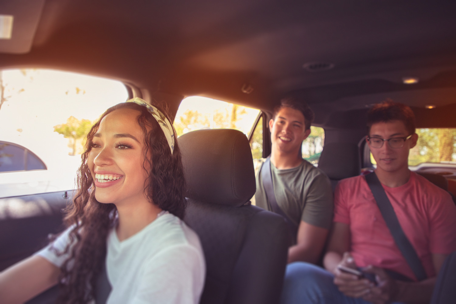
Greener, simpler, preventative solutions include carpooling, which can reduce the overall number of cars on roads while saving people time and money, and adaptable transit solutions such as the “trackless tram", which can drive both on the road or on a track reducing the potential for clogged streets due to slow-moving trams or vice versa.
Sometimes, preventing bottlenecks is simply a matter of sharing the right info at the right time; enter in “reversible lanes" which is a part of HERE Traffic solutions. Together they can inform drivers in advance of which lanes are open easing extra vehicle flow.
When combining environmentally sound traffic solutions with data, urban planners, transport agencies and individuals can access greater visibility into the traffic issues in their specific location.
HERE Traffic is more than just navigation and routing: it features trillions of GPS data points, more than 100 incident reporting services, and data collected from car sensors, smartphones, personal navigation devices, and more, in addition to expert monitors that observe crashes and construction twenty-four hours a day, seven days a week.
All of this data is displayed on the HERE traffic dashboard keeping drivers aware, alert, and informed of the inner workings of city roads. It's transmitted through low-cost HD (Hybrid Digital) Radio Technology.
One shared car removes seventeen cars from the road, reduces emissions, and frees up parking lots for greener usage like community gardens, which help clean the air.
Autonomous cars
Unfortunately, many traffic problems are caused simply by humans being human, and our tendency to be selfish. However, we might be able to count on autonomous vehicles to help reduce blockages in the most clogged urban areas. Have you heard of “car tube"? It's essentially what it sounds like, a series of underground tubes that transport autonomous cars between designated points, relieving the roads above from added vehicles.
But if trusting an autonomous car is a concern, then take relief in knowing that machine learning is advancing rapidly and it's only a matter of time before a driverless car can make “eye contact" with pedestrians to ensure their safety while responding to each and every human-passenger preference.
Congestion pricing could be the future
In the meantime, while urban designers, DOTs, autonomous technology, and drivers race to find the end-all solution to traffic congestion, governments are making decisions about who exactly is “going to pay for all this?". Congestion pricing is becoming a popular and effective way to deter vehicles from entering certain areas of cities during specified peak times; usually areas that have alternative transit options. Cities implementing the system include New York, Singapore, London, and Stockholm.
Despite best efforts to decrease traffic on roads, it's clear that people's use of cars, and their attitudes towards car ownership, will have to change. In fact, Statista reports that it already is, with a decline of over 25 million in the number of registered vehicles in the USA between 2012 and 2019.
See how things are moving in your city with HERE Traffic

Related articles


Sign up for our newsletter
Why sign up:
- Latest offers and discounts
- Tailored content delivered weekly
- Exclusive events
- One click to unsubscribe