This might be the worst address in New York City - unless you're a drone
One of my friends has one of the worst addresses in New York, if not the world.
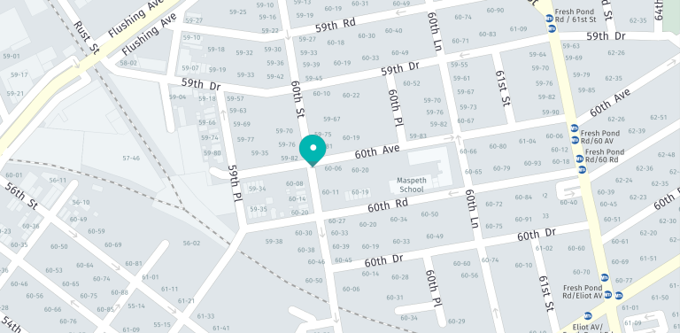
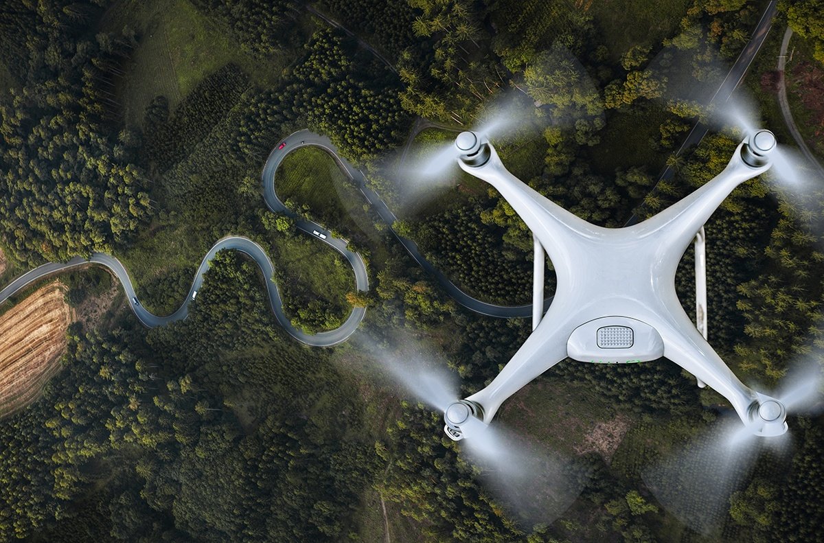
He lives in Maspeth, Queens, near the corner of 60th Avenue and 60th Street, nestled in the middle of 60th Road, 60th Lane, 60th Place, and 60th Drive. Rather than taking the risk of take-out deliveries getting lost forever in the maze of 60s, it's simpler to avoid giving out his anxiety-inducing address by arranging to meet drivers at a nearby landmark. But as confusing as my friend's address may be, a future fleet of delivery drones will be much more adept at dropping packages off at his door.
How could a drone - which can't tell the subtle nuances between a street and a road - have an easier time navigating to one of the world's least coherent addresses than a local? Before explaining how machines see location, it's worth exploring how we've decided 'where' we are.
Names and numbers
Some of the earliest roads of the Roman Empire were named after the people who built them or ordered their construction. These early names were possessive, e.g. the Via Appia belonged to censor Appius Claudius Caecus. To this day, many roads are named after people: either after wealthy landowning families, like New York City's Delancey Street; honoring notable figures who lived on that street, like Paris' Avenue Victor Hugo; or in recognition of a very influential person, like the 4,974 Washington streets you can find throughout the United States.
However, geography is also a major factor. The Washington Post found the most common street name in America was Park, likely due to them running through or adjacent to green spaces. Trees that line avenues are often the inspiration behind names like Maple, Dogwood and Oak, while local amenities generate names like Station, Market and Millstone. And ubiquitous grid plans usually end up numbered for easy navigation (the example above in Maspeth, Queens being a noteworthy exception).
How we code location
Despite street names being old as antiquity, house numbers that identify specific plots along a street are a relatively recent development. Taking off only in the 18th century, house numbers were a tool of bureaucracy, allowing for the collection of taxes, or conscription of men to armies. Mail delivery would further systemize addressing with the introduction of postal codes, which divided countries into distinct zones for bulk shipments. Assigning unique alpha-numeric identities to specific regions within a city, state, and country made letters and packages easier to process and reduced confusion for carriers having to deliver mail to places with similar addresses.
However, all of this information: street number, name, and postal code are next to useless to a computerized system looking to navigate around cities. Even addresses organized on a pure grid must go through a process called geocoding in order to make sense to a delivery drone. This is because, even though street addresses are objective, they are not consistent or universal in the way that computer-readable languages need to be. In order to navigate, computers rely on latitude and longitude.
Geocoding tools, like those offered by HERE, layer global latitude and longitude coordinates with familiar street addresses, labeling each building unit with computer-readable location data. If — in the near future — you summon a drone to your address, a geocoder will translate that into a precise latitude and longitude that will help the drone fly to your exact location.
Of course, the drone's job is still more complex than traveling along the most direct flight path. To avoid crashing into any possible obstacles along the way requires a suite of connected sensors and location databases.

Related articles


Sign up for our newsletter
Why sign up:
- Latest offers and discounts
- Tailored content delivered weekly
- Exclusive events
- One click to unsubscribe