HERE Maps on Amazon Location Service
Amazon Location Service is a fully managed service that helps developers easily and securely add maps, points of interest, geocoding, routing, tracking, and geofencing to their applications without compromising on data quality, user privacy, or cost. With Amazon Location Service, you retain control of your location data, protecting your privacy and reducing enterprise security risks. Amazon Location Service provides a consistent API across high-quality location-based service data providers (Esri and HERE), all managed through one AWS console.
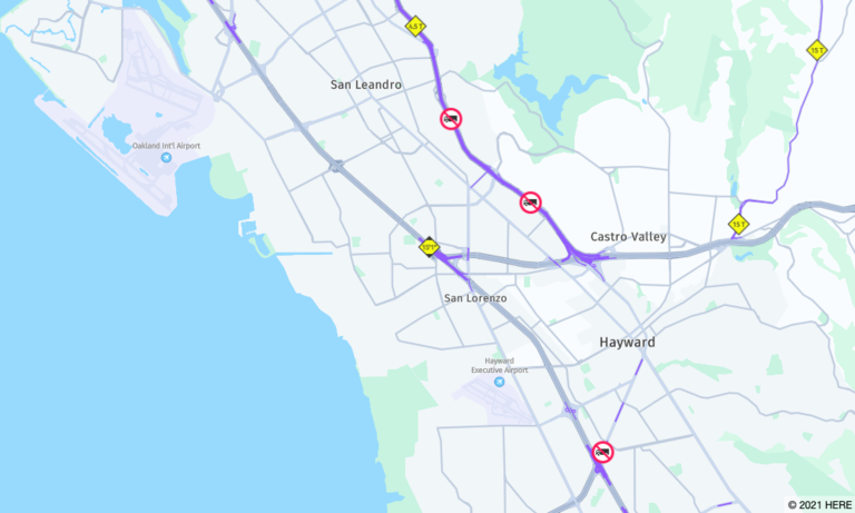
HERE provides Amazon Location Service with map rendering, geocoding, search, and routing, with global coverage and local flavor that transect geographic borders. By selecting HERE location data, you are selecting accurate, fresh, and robust data that is deployed natively on the AWS Cloud. The HERE vector tile service allows for vector tiles style customization while still providing for the needs of lightweight applications. This means AWS customers can leverage HERE or any 3rd party rendering engine for the map creation of their choice through a delivery format containing geometries, labels, and other data typically passed to a renderer to draw a map. In addition, customers will benefit from fresh and high-quality map content available today. HERE Map receives over 5 million updates on average per day across the globe, which are thoroughly validated to deliver over 900 mapping attributes while maintaining the most accurate index of reality.
With the recent addition in March and October for the base map service, Amazon Location Service now has a total of 11 map styles to support a wide range of use cases for interactive maps in applications, 5 of these map styles are provided by HERE Technologies.
- HERE Contrast
A detailed base map of the world that blends 3D and 2D rendering. The high-contrast street map includes highways, major roads, minor roads, railways, water features, cities, parks, landmarks, building footprints, and administrative boundaries.
- HERE Explore
A detailed, neutral base map of the world. The street map includes highways, major roads, minor roads, railways, water features, cities, parks, landmarks, building footprints, and administrative boundaries. Includes a fully designed map of Japan.
- HERE Explore Truck
A detailed, neutral base map of the world. The street map builds on top of the HERE Explore style, and highlights track restrictions and attributes (including width, height, and HAZMAT) with symbols and icons, to support use cases within transport and logistics.
- HERE Imagery
HERE Imagery provides high-resolution satellite imagery with global coverage.
- HERE Hybrid
HERE Hybrid style displays the road network, street names, and city labels over satellite imagery. This style will automatically retrieve both the raster and vector tiles required to render the map.
You can explore all these map styles using this demo application above built using MapLibre GL JS, Amazon Location Service and AWS Amplify. This application is extended on top of this Amazon Location sample. See the quick start guide for a complete walkthrough of this example.
Below are the details on the customization that we added to the sample,
- We created new HERE map styles in the Amazon Location console, on the Maps page.

- We added new buttons in the HTML page for each map style.
        <html>
....
        <h2>Select HERE map styles</h2>
        <button id="change" onclick="changeMapJapan()">HERE Explore - Japan<img src="here_explore.png"></button>
        <button id="change" onclick="changeMapLA()">HERE Explore Truck - LA<img src="here_explore_truck.png"></button>
        <button id="change" onclick="changeMapBerlin()">HERE Contrast - Berlin<img src="here_contrast.png"></button>
        <button id="change" onclick="changeMapImagery()">HERE Imagery<img src="here_imagery.jpg"></button>
        <button id="change" onclick="changeMapHybrid()">HERE Hybrid<img src="here_hybrid.jpg"></button>
.....
</html>
- We added new functions in the Javascript file to handle each of the buttons' click events.
        function changeMapJapan(){
  mapName = "here.explore";
  lat = 35.68026;
  lng = 139.76744;
  zoom = 17;
  main();
}
We hope that you can use this demo application to explore all map styles in the Amazon Location service provided by HERE Technologies. Next, we will cover Place Indexes (reverse geocoding) as shown in the side panel of the demo application.

Sign up for our newsletter
Why sign up:
- Latest offers and discounts
- Tailored content delivered weekly
- Exclusive events
- One click to unsubscribe