Why do we need more positioning satellites?
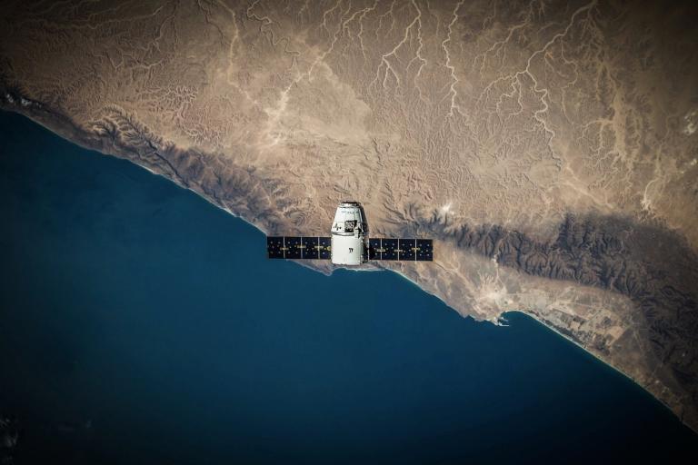
For many people, satellite location services mean one thing – GPS. But that is beginning to change as we uncovered in our recent article about the latest advances from HERE in the art of positioning. Now, we've looked deeper into the ways they will secretly revolutionise the global market.
If you hoover your floor, take aspirin for fevers or use sellotape to wrap gifts, you may also be in the habit of saying “GPS” when you mean “satellite positioning system”. It’s understandable – when a brand name becomes synonymous with a product or service, it can be hard to call it anything else. But there are actually two fully-operational global navigation satellite systems (or GNSS, for short).
GPS was developed in the late 1970s by the US, and it has gown – in size and popularity – ever since. But, contemporaneously, Russia developed GLONASS and by 2012, it had become the second-most-used positioning system in mobile phones. In many ways, GLONASS and GPS are very similar – they each started as military projects, they offer global coverage with similar precision, and they use microwave frequencies to transmit their data. So, on first glance, it can be hard to see why we need both.
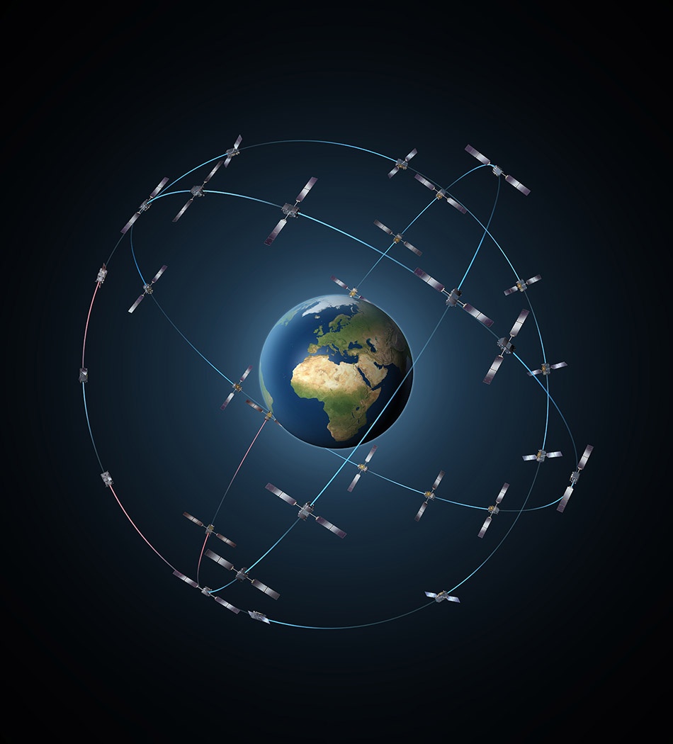
And that’s not all – GPS and GLONASS are being joined by two additional global constellations – Europe’s Galileo, and China’s BeiDou, which together, will more the double the number of navigation satellites in orbit around Earth.
Who owns it?
To find out what’s driving this latest deployment of positioning systems, we spoke to Professor Terry Moore, Director of the Nottingham Geospatial Institute at the University of Nottingham. “There’s no straightforward answer to that! Part of it is political, part of it financial, and part of it technical,” said Moore. “Putting our political hats on first, look at all of the positioning capability we have - personal navigation, cars, aircraft, ships, railways, timing - does it make sense to have all of those things rely on a single system that is also a military tool of one country?”
This is something that most of us never think about – we may all use signals from GPS satellites on a daily basis, but the budget for running the system is held by the US Department of Defense – as Moore said himself, “...we use it with their grace”. If those signals failed or were shut down in the case of political upheaval or war, we would be lost, quite literally, without them. And this is really where Galileo project comes in. It is being built by the European Commission and the European Space Agency as a civilian navigation tool – one that can operate independently from GPS or GLONASS.
As of May 2016, 14 Galileo satellites were in orbit, with 16 more to come online in the next four years, providing global coverage, and improved precision. Importantly, Galileo will also work alongside other systems to form a global search and rescue system – a near-instantaneous, worldwide distress beacon locator.
Regional development
A number of countries, such as India and Japan, have taken a different approach – developing constellations that offer high-precision coverage over a limited region. China’s BeiDou system started off in the same way, but by 2020, they’ll have 30 satellites in orbit, making it the fourth truly global navigation system. The primary argument for BeiDou is to maintain China’s independence, but there are also financial gains from satellite-based positioning systems. According to China Daily, BeiDou is already generating $31.5 billion for the economy. Part of this is because navigation satellites offer more than just positioning. Atomic clocks on-board can measure time to within 100 billionths of a second, allowing us on the ground to freely and accurately manage everything from electricity networks to financial markets.
For now, most Europeans tap into GPS satellites for this service, but that’s unlikely to remain the case. “The US has always had a significant market lead, but there is a real desire within Europe to grow the market,” said Prof. Terry Moore “which would allow us to benefit directly from the technology.”

Improving the tech
Arguably, it’s in the technology itself that we’ll see the biggest benefit of these multiple systems. All positioning satellites use a process called trilateration – which always needs four satellites, when we take height (e.g. different levels in a building) into consideration – to pinpoint a location on Earth. The first satellite locates you within a sphere, the addition of a second narrows that down to a circle, the third reduces it to two points, and the fourth applies the final correction to get your exact location. So, with more satellites in the sky, you get an improved geometry and more accurate measurements.
For Prof. Moore, these new satellites also offer brand new capability, “GPS and GLONASS developed over a long period of time, but Galileo let us start with a blank sheet – to use only the signals we want, rather than what we’ve always used.” In fact, the Galileo signals could offer much better services than those we have today. All the research suggests that by combining particular frequencies unique to Galileo, called AltBOC, it may be possible to reach decimetre (10 cm) level positioning.
And then there is the benefit of competition – “If you have a single system, it’s very easy to become complacent”, said Moore “GPS and GLONASS have been pushed into modernisation because of the development of Galileo.”
Multi-lingual positioning
So what will these multiple GNSS systems mean for us? Well, most smartphones and in-car systems already flick between GLONASS and GPS when they need to. Eventually though, the hope is that all four global positioning systems will speak the same language (interoperable with the GPS L1C signal). For the average consumer, that should mean more accurate timing and better positioning services even in built-up areas, anywhere in the world.
Of course, with that level of interoperability comes the risk of interference in the form of jamming (where the signal is blocked) or spoofing (where a false signal is sent). But Prof. Moore is philosophical about it, “We’re getting more sophisticated in the way we protect and detect jamming and spoofing. But really, all we can do is stay one step ahead!”

Sign up for our newsletter
Why sign up:
- Latest offers and discounts
- Tailored content delivered weekly
- Exclusive events
- One click to unsubscribe