Location powered Platooning benefits every truck on the road

Our intelligent truck platooning services can be utilized across trucks and across companies, so everyone benefits from an optimized roadway.
Out on our highways, there is a huge resting potential – an excitable element yet to be activated. That potential lies in the trucks that deliver goods to our local stores, and the routes that they follow to do so.
Trucks and tractor-trailers can be found everywhere, independently driving from point A to point B, tirelessly crisscrossing between cities and waypoints. But, there is the potential for that to change for the better. Instead of everyone driving for themselves, evolving technology has identified a better method – called platooning – which brings multiple trucks into line to travel together.
Platooning works like this: a small number of trucks travel together and communicate with each other over a secure wireless connection, enabling one truck to react to all the others in a matter of milliseconds. Acceleration, coasting, and braking can all be performed safely and uniformly, while each vehicle drives in much closer proximity. The resulting air-drag reduction means less fuel consumed on long routes.
Trucking companies in the U.S. alone spent nearly $90 billion dollars on fuel in 2016. This simple shift in planning and proximity is estimated to save the industry up to 10% in fuel costs. This savings figure also translates into a similarly reduced amount of CO2 emissions. Creating $9 billion in savings along with reducing green house gas emissions is a powerful incentive, benefiting the economy and the environment alike.
The routing and optimization challenge
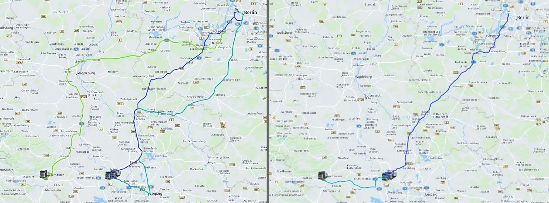
Bringing multiple trucks together to platoon for long distances efficiently is a deeply complex mathematical challenge. Unfortunately, it cannot be done via simply pairing up a set of vehicles and hoping for a better outcome. Rather, it’s about utilizing precise information to plan platooning routes, ahead of time, that logistics planners can be certain are collectively more economical.
Location intelligence is the critical component in making this possible. It not only covers precise current locations and ETAs based on traffic conditions. Additionally, certain trucks may or may not be allowed to drive on certain roads, depending on the truck’s weight, the type of payload, the time of day. In addition, future government legislation may define where platooning is allowed on the roadways. All of these have to be tied into that equation – which is precisely the service HERE is building.
Once enabled with the proper location intelligence, a new data layer must be created that provides the logistics planners with the right information to make economic decisions. That layer tells the planner the potential value of moving a vehicle into a platoon. In one example, moving a single vehicle to a platoon may cause a missed delivery. But, in a different scenario, sending a vehicle on a slightly longer route as part of a platoon may result in significant fuel savings that make up for the longer transit time.
In the near term, the best system will be focused on providing planners with the best information possible: like total travel time, total distance for solo and platoon options. The logistics manager can then weigh in the needs and desires of the company, where their tolerances are for timings and savings, and the overall movement of their fleets.
Platooning service planning
This model of putting multiple trucks together makes sense for those planners managing large fleets, but we see more potential on the horizon. The location APIs we provide to enable platooning are being incorporated into demonstration interfaces by SAP. If fully developed, those interfaces can benefit large freight companies, and independent fleet planners as well.
Those independent logistics managers can potentially leverage platooning for multiple companies. The more vehicles that are available to the system, the more companies have the potential to save money, and make the roadways more efficient.
Cooperative approaches like this, where we can play as a neutral data provider, are the future for the autonomous world. We believe the future is collaborative, and we’re looking forward to bringing more efficient, intelligent solutions to our roadways.

Sign up for our newsletter
Why sign up:
- Latest offers and discounts
- Tailored content delivered weekly
- Exclusive events
- One click to unsubscribe