
Truck-specific navigation
Bridge strike prevention in Australia: What you need to know
Discover how truck-specific data and smarter routing can protect drivers, carriers and cargo.
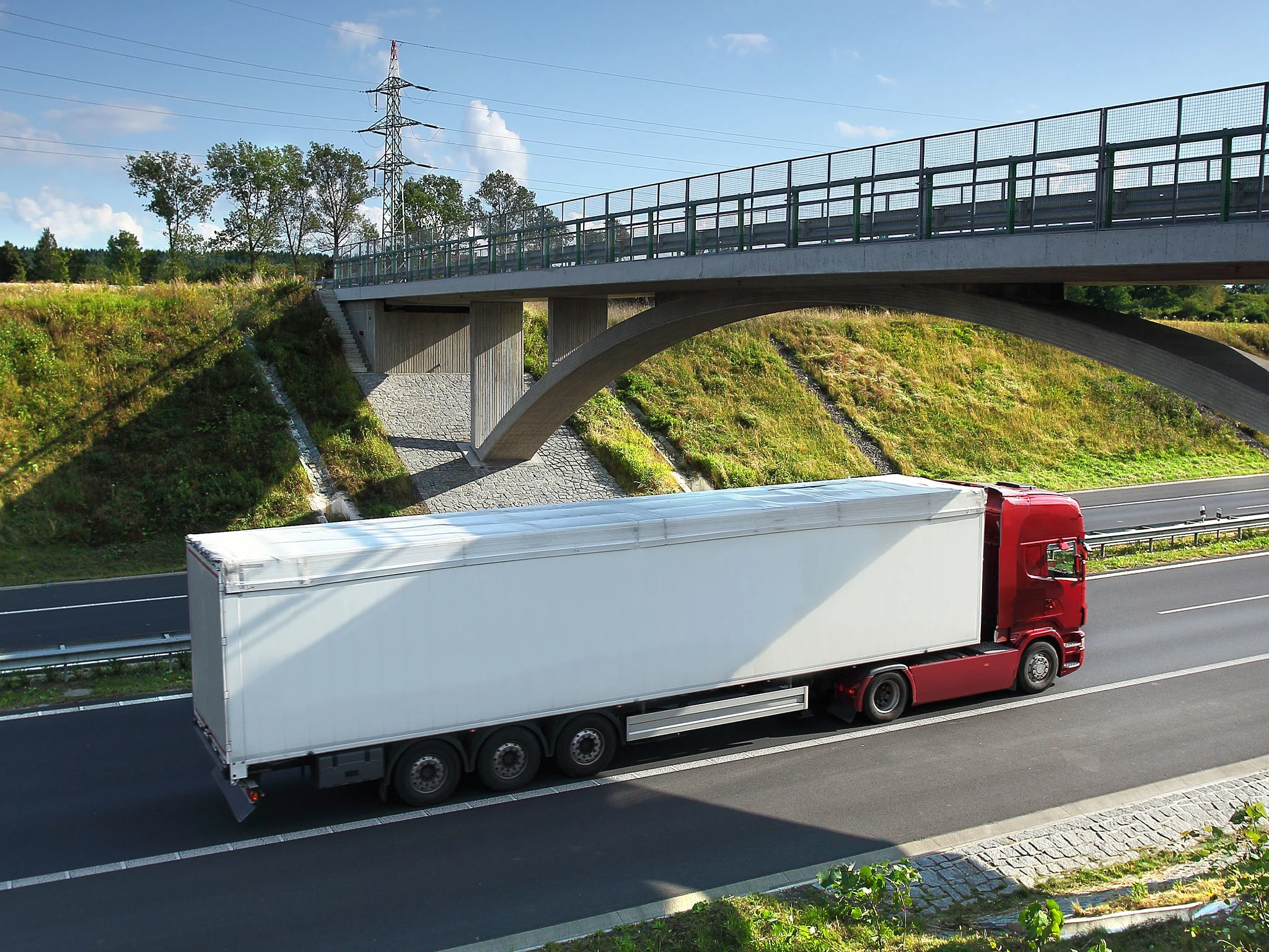
Truck-specific navigation
Discover how truck-specific data and smarter routing can protect drivers, carriers and cargo.
Around 1,220 incidents cost the Australian economy approximately $101 million in 2025, a figure that will rise as freight activity grows. For fleet owners, transport managers and logistics professionals, the case for commercial-grade navigation has never been stronger. HERE Technologies and the Australian Logistics Council commissioned HoustonKemp to conduct the first comprehensive study into the economic cost of vehicle bridge strikes in Australia. Smarter routing can prevent bridge strikes before they happen, protecting your drivers, your cargo and your bottom line.

Using passenger navigation instead of commercial-grade tools puts drivers on unsafe routes, increasing bridge strike risks.

Consumer maps lack critical routing for commercial vehicles, leading drivers onto unsafe paths and into low-clearance hazards.

Unaware of their vehicle or cargo height, drivers risk collisions that jeopardize shipments and infrastructure.

See how HERE's truck attributes can route commercial drivers and avoid obstacles like vehicle height restrictions.
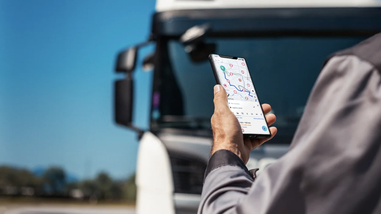

Use routing solutions that account for vehicle height, weight and cargo type to avoid low-clearance routes and restricted roads.
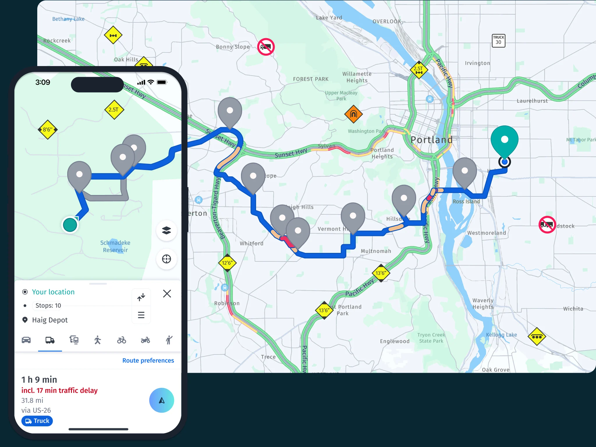
Ensure route plans developed by dispatch or fleet managers are connected directly to driver-facing navigation systems.
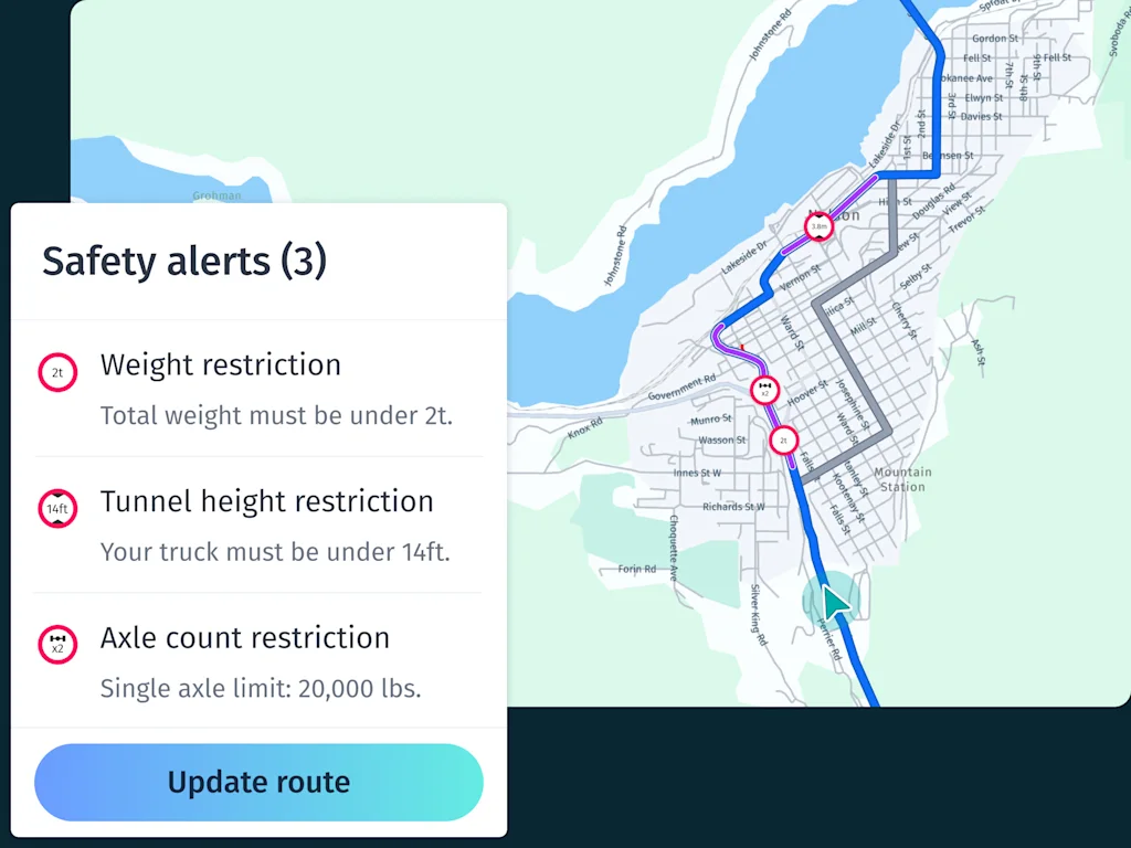
Provide guidance on using commercial navigation tools effectively and highlight the risks of relying on apps designed for passenger vehicles.
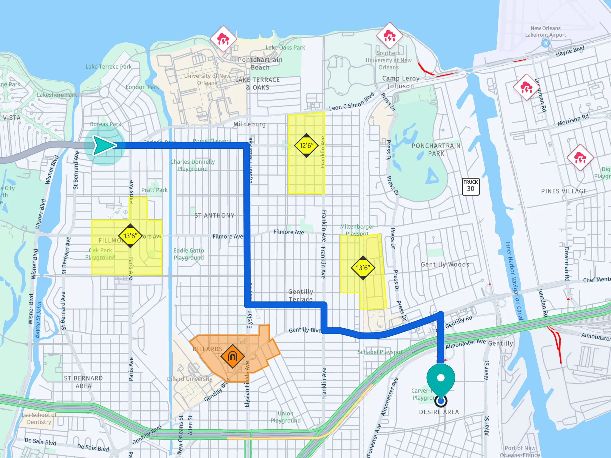
Incorporate geofenced low-clearance zones, truck-specific map data, and real-time inputs like traffic and weather to enable smarter, safer routing.
Let's discuss how you can use truck-specific data to avoid costly bridge strikes.
