-
-
Platform Overview Platform Overview
High-precision data and advanced tooling in one place
-
Maps & Data Maps & Data
Build high-quality maps using fresh location data
Maps & Data-
Map Data Map Data
Create fresh, accurate maps and layer global information
-
Dynamic Map Content Dynamic Map Content
Explore industry-leading map content
-
Maps for ADAS & HAD Maps for ADAS & HAD
Help vehicles see beyond sensors with location data sources
-
-
Services Services
Browse our extensive range of services and APIs
Services-
Routing Routing
Make journey planning easier with our routing portfolio
-
Geocoding & Search Geocoding & Search
Translate addresses into accurate geocoordinates
-
Map Rendering Map Rendering
Highly customizable graphics and real-time map data
-
Positioning Positioning
Pinpoint devices and assets locations with precision
-
-
Tools Tools
Build solutions with our flexible developer tools and applications
Tools-
HERE Studio HERE Studio
Visualize, style and edit location data
-
HERE Workspace HERE Workspace
Create location-centric products and services in one space
-
HERE Marketplace HERE Marketplace
Source, buy, sell and trade location assets
-
HERE SDK HERE SDK
Build advanced location-enabled applications
-
HERE Live Sense SDK HERE Live Sense SDK
Enhance driver awareness by using AI
-
HERE Anonymizer HERE Anonymizer
Maximize location data while supporting regulatory compliance
-
-
Capabilities Capabilities
Everything you need for your location-related use case
Capabilities-
Visualize Data Visualize Data
Identify complex trends and patterns
-
Generate Insights Generate Insights
Transform location data into compelling stories
-
Build Applications Build Applications
Create feature-rich products designed for business
-
Develop Services Develop Services
Produce tailored service experiences
-
Make Maps Make Maps
Create and use custom digital maps
-
-
-
-
By Market By MarketBy Market
-
Automated Driving Automated Driving
-
Connected Driving Connected Driving
-
Fleet Management Fleet Management
-
Supply Chain Supply Chain
-
Urban Mobility Urban Mobility
-
Infrastructure Planning Infrastructure Planning
-
Public Safety Public Safety
-
-
By Applications By ApplicationsBy Applications
-
HERE Last Mile HERE Last Mile
Optimize your last mile deliveries
-
HERE Asset Tracking HERE Asset Tracking
Track assets in real-time with our end-to-end solution
-
HERE Navigation HERE Navigation
Use our off-the shelf navigation system
-
HERE WeGo HERE WeGo
Enjoy your journey with our new navigation app
-
-
-
-
Partner with HERE Partner with HERE
-
Partner Network Partner Network
-
-
Pricing Pricing
-
-
Documentation Documentation
-
Tutorials Tutorials
-
Code Examples Code Examples
-
Knowledge Base Knowledge Base
-
Developer Blog Developer Blog
-
-
-
About us About us
-
Events Events
-
News News
-
Press Releases Press Releases
-
Careers Careers
-
Sustainability Sustainability
-
Leadership Leadership
-
Investors Investors
-
HERE360 Blog HERE360 Blog
-
We contribute global maps and traffic services to power solutions from Esri

At the Esri User Conference in July, you’re going to find a great number of Geographic Information System (GIS) solutions. Look a little deeper and you’ll see that many of those solutions are powered by HERE data.
Esri is a GIS software maker: their goal is to combine mapping and analytics to reveal deeper insight into data. Businesses use their products to determine new locations, spot hot zones, and see real-time growth trends. With Esri's help, governments can make their communities smarter, safer, and more economically viable. Manufacturers can investigate sales by region, analyze performance of individual channels, and manage inventories. From safeguarding construction crews to keeping the power on for customers, utilities use Esri's software to mitigate risk through a clearer, real-time operational picture.
Esri's suite of GIS software products called ArcGIS, operates on desktop, server, mobile and cloud platforms. One of its key features is that it ingests many different forms of geospatial data, then perform analysis and generate insights using maps as the canvas for that data. ArcGIS helps unleash geospatial data’s potential in nearly every industry I can think of.
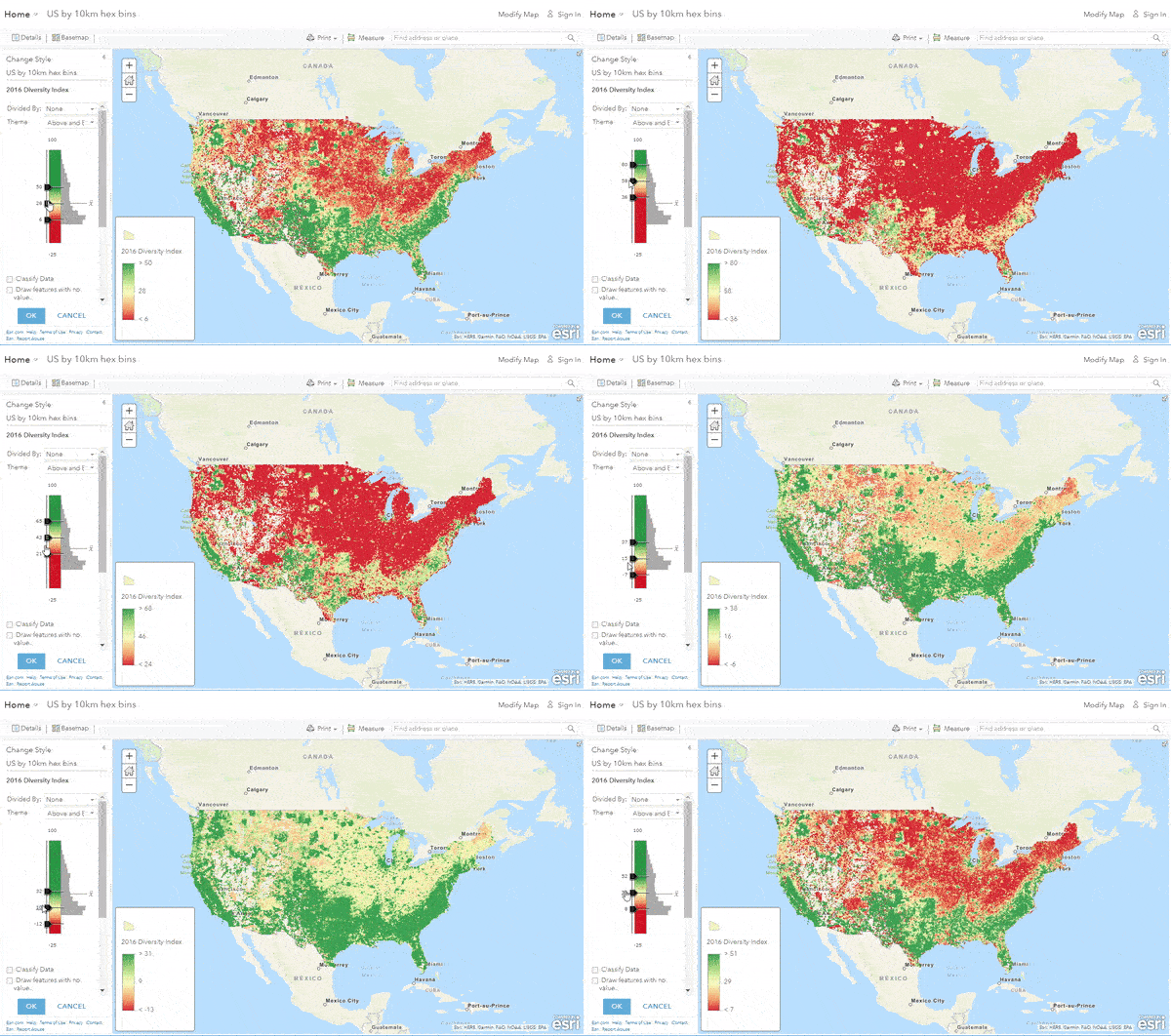
They have a vast network of partners and suppliers, as well as over 350,000 users. When it comes to location data, the services they provide is frequently powered by HERE.
For instance, at the simplest level, we provide the core maps – the street centerline network of roads and intersections you naturally expect to see on any map. We also provide addressing data used in geocoding services and navigable attributes used in network analysis.
Esri also takes advantage of the HERE Traffic Suite – which includes road incidents, traffic flows, historical traffic patterns and predictive traffic service. With our help, ArcGIS provides more accurate ETAs for analysis, planning and routing purposes.
My team and I will be attending the Esri User Conference in San Diego, and I invite you to come and talk to us about all the data products that HERE can provide. If you can’t make the expo, and still want to learn more, please get in touch with us at esri@here.com
Have your say
Sign up for our newsletter
Why sign up:
- Latest offers and discounts
- Tailored content delivered weekly
- Exclusive events
- One click to unsubscribe