-
-
Platform Overview Platform Overview
High-precision data and advanced tooling in one place
-
Maps & Data Maps & Data
Build high-quality maps using fresh location data
Maps & Data-
Map Data Map Data
Create fresh, accurate maps and layer global information
-
Dynamic Map Content Dynamic Map Content
Explore industry-leading map content
-
Maps for ADAS & HAD Maps for ADAS & HAD
Help vehicles see beyond sensors with location data sources
-
-
Services Services
Browse our extensive range of services and APIs
Services-
Routing Routing
Make journey planning easier with our routing portfolio
-
Geocoding & Search Geocoding & Search
Translate addresses into accurate geocoordinates
-
Map Rendering Map Rendering
Highly customizable graphics and real-time map data
-
Positioning Positioning
Pinpoint devices and assets locations with precision
-
-
Tools Tools
Build solutions with our flexible developer tools and applications
Tools-
HERE Studio HERE Studio
Visualize, style and edit location data
-
HERE Workspace HERE Workspace
Create location-centric products and services in one space
-
HERE Marketplace HERE Marketplace
Source, buy, sell and trade location assets
-
HERE SDK HERE SDK
Build advanced location-enabled applications
-
HERE Live Sense SDK HERE Live Sense SDK
Enhance driver awareness by using AI
-
HERE Anonymizer HERE Anonymizer
Maximize location data while supporting regulatory compliance
-
-
Capabilities Capabilities
Everything you need for your location-related use case
Capabilities-
Visualize Data Visualize Data
Identify complex trends and patterns
-
Generate Insights Generate Insights
Transform location data into compelling stories
-
Build Applications Build Applications
Create feature-rich products designed for business
-
Develop Services Develop Services
Produce tailored service experiences
-
Make Maps Make Maps
Create and use custom digital maps
-
-
-
-
By Market By MarketBy Market
-
Automated Driving Automated Driving
-
Connected Driving Connected Driving
-
Fleet Management Fleet Management
-
Supply Chain Supply Chain
-
Urban Mobility Urban Mobility
-
Infrastructure Planning Infrastructure Planning
-
Public Safety Public Safety
-
-
By Applications By ApplicationsBy Applications
-
HERE Last Mile HERE Last Mile
Optimize your last mile deliveries
-
HERE Asset Tracking HERE Asset Tracking
Track assets in real-time with our end-to-end solution
-
HERE Navigation HERE Navigation
Use our off-the shelf navigation system
-
HERE WeGo HERE WeGo
Enjoy your journey with our new navigation app
-
-
-
-
Partner with HERE Partner with HERE
-
Partner Network Partner Network
-
-
Pricing Pricing
-
-
Documentation Documentation
-
Tutorials Tutorials
-
Code Examples Code Examples
-
Knowledge Base Knowledge Base
-
Developer Blog Developer Blog
-
-
-
About us About us
-
Events Events
-
News News
-
Press Releases Press Releases
-
Careers Careers
-
Sustainability Sustainability
-
Leadership Leadership
-
Investors Investors
-
HERE360 Blog HERE360 Blog
-
How we built a map to identify electric vehicle (EV) charging stations

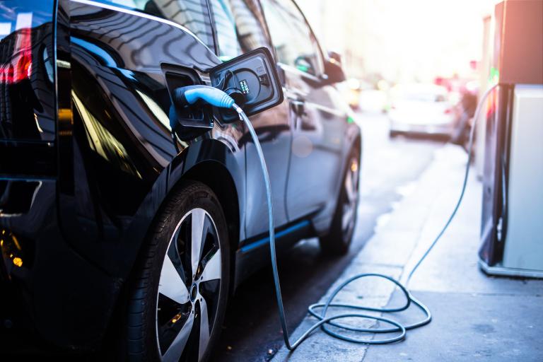
An often cited barrier to electric vehicle (EV) adoption is that the number of charging stations is limited. Even with over 8000% growth in charging locations from 2009-2019 in the US alone, according to the U.S. Office of Energy Efficiency & Renewable Energy, this notion remains. We built a map that visualization shows how coverage of stations are becoming.
On Display
Using the HERE platform and HERE EV Charge Points API, our map displays the density of EV charging stations across the US and Europe respectively. Displaying the data as a heatmap enables readers to see general trends and spot outlier areas that have either a very high or very low number of EV stations.
To explore, zoom and pan around the map for a comparative view of EV charging station density. The map also allows users to look up a specific city or address and see the total number of EV stations there, or read more about cities with the most EV stations. That information can be accessed directly from the sidebar.
For smaller devices, we split the UI into two main cards: a card at the top of the screen containing the map title and the search box, and an expandable card at the bottom of the screen showing the city information. Users also have the option to share the map to a number of social media channels or embed it as an iframe in their own sites, articles or apps.
Data and Products Used
The data for this map comes from the HERE EV Charge Points API that provides data on the locations of charging stations within a specified area, including data on connector types, opening hours, and location.
To render the map, we used the HERE Maps API for Javascript. We created a custom grayscale basemap to make the data stand out more. The search functionality was implemented using the HERE Geocoding and Search API via the search service in the HERE Maps API. This helped us extract relevant cities from addresses in order to determine the approximate amount of EV stations in the area.
The app was built with React using Next.js, the Chakra UI component library for the overall UI and layout, Reach UI Combobox for the functionality of the search box, as well as some smaller utility libraries.
To visualize the data and show general trends around EV charging station density, we used the built in heatmap function in the HERE Maps API for Javascript library. The heatmap is adjusted at every zoom level to provide varying levels of detail depending on how far you zoom in.
Have your say
Sign up for our newsletter
Why sign up:
- Latest offers and discounts
- Tailored content delivered weekly
- Exclusive events
- One click to unsubscribe