(Geo) Fences make great Australian neighbors
Free as a bird, even during the COVID-19 lockdown? With a geofence, going for a walk is still an option.
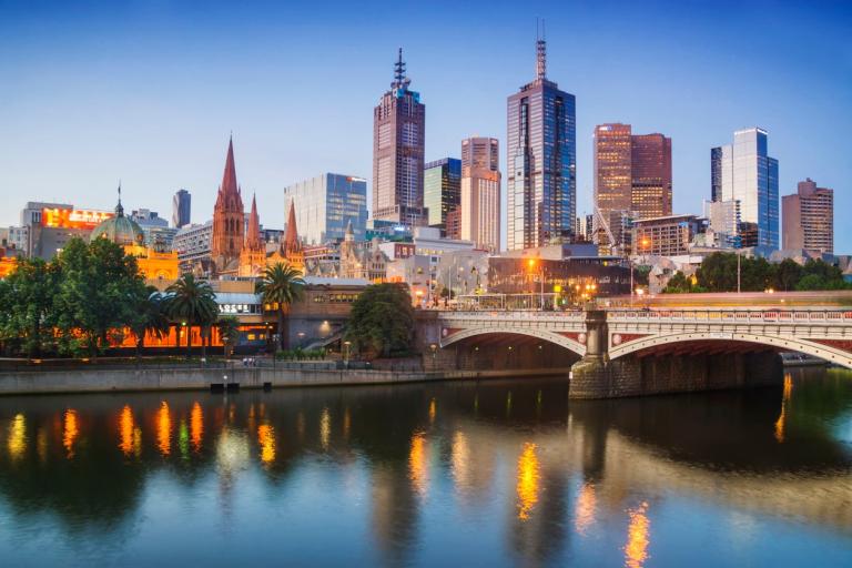
On August 3rd, 2020, Melbourne, Australia recorded a spike in COVID-19 infections, which resulted in a city-wide curfew.
Australia's second-biggest city has implemented a stage-four lockdown including an overnight curfew between 8pm and 5am that forbids residents from traveling more than 3 miles, or 5 kilometers, from their home. The measures are planned to remain in place until September 13th, 2020 with their police force granted additional authority to enforce the policies.
While restrictions are necessary to keep infection rates at bay, there may be a less discouraging, cost-effective solution.
With HERE Places Footprints and Geofencing service, governments and authorities can access real-time data about occupation rates and movement throughout the city while overseeing social distancing regulations.
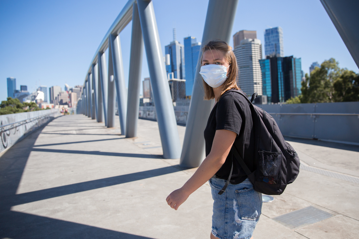
Location technology can help keep people happier during COVID-19 lockdowns by allowing them to go outside within a certain set of geographic parameters.
Roam free
"We can no longer have people simply out and about for no good reason whatsoever," Melbourne's state premier, Daniel Andrews, told Business Insider.
Under the latest COVID-19 regulations, Melbourne residents are only allowed outside of their homes to shop for essentials or exercise within 3 miles of their household. Outdoor physical activity is restricted to once a day for one hour at a time.
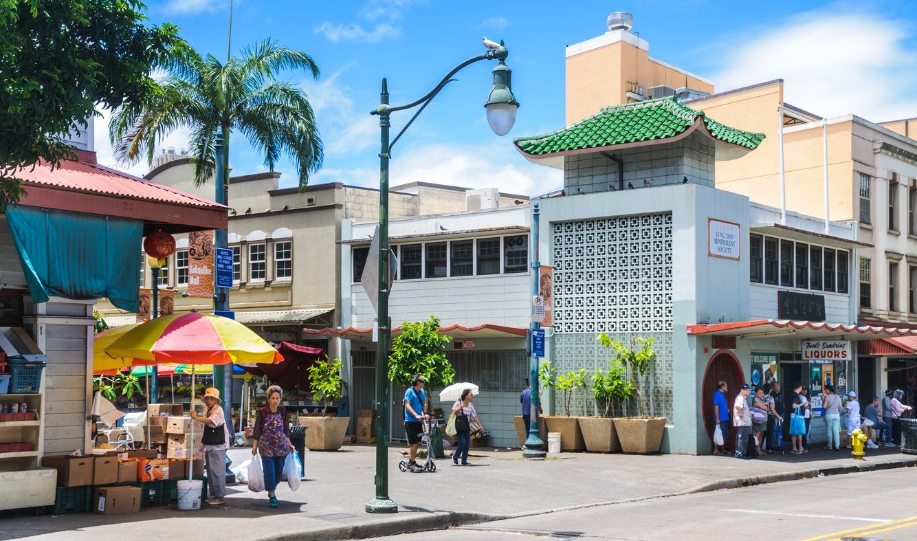
Meanwhile in Hawaii, governments are considering using geofencing to create “resort bubbles" in which vacationers can explore their surroundings within a predetermined area. The technology can help boost the country's travel economy and facilitate safer summer vacations.
What is a geofence? |
|
A geofence is a virtual boundary applied to a real-world geographic area. The location-enabled service is determined by creating a digital radius around a point location, or by defining an area such as school zones, parks or shopping centers. Cities using a geofence to help maintain COVID-19 regulations will benefit from: |
|
|
|
In addition, HERE Places Footprints, when connected to a smartphone app that tracks devices, can collect data including occupancy rates and enter/exit times in retail and food outlets, gyms, libraries and more once specific parameters are set. This makes the act of supervision less invasive for civilians, more efficient, and less costly for governments while reducing stress on authorities.
What is HERE Places Footprints? |
|
HERE Places Footprints is a downloadable product that helps cities and governments better understand where and when people are inside a certain location. |
|
|
|
When governments have access to the data that these tools collect, they can make more informed decisions including when to lift or adjust curfews and lockdown measures potentially saving money on labor and infrastructure.
“HERE Places Footprints provides the geometry to analyze movement. So, it doesn't do the tracking but provides a more precise understanding of where someone is. In that way, providing better context and meaning to the location of the person/mobile device being tracked. When used in conjunction with an application tracking mobile devices, it can absolutely tell you the number of those devices within a specific location," explained HERE Technologies' Senior Director of Sales, Jason Bettinger.
As countries around the world work to sustain both individual freedoms and public safety, location-enabled tools could be a way to keep everyone healthy and happy during COVID-19.
Access relevant data while keeping your city stay safe with HERE Places Footprints

Have your say
Sign up for our newsletter
Why sign up:
- Latest offers and discounts
- Tailored content delivered weekly
- Exclusive events
- One click to unsubscribe