Talking trash: smart solutions for keeping our cities clean
As our cities expand, improving waste management is becoming an urgent issue.
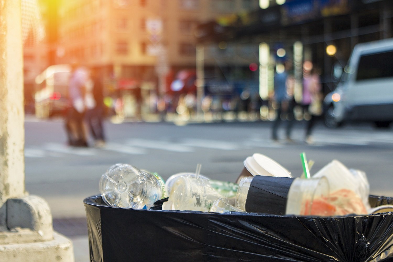
Smart approaches to trash collection are becoming an imperative for cities. Our cities are growing fast, which means, of course, so is the amount of waste they're producing.
The World Bank estimates the annual cost of solid waste management will reach $375 billion by 2025 – for removing an estimated 2.2 billion tonnes.
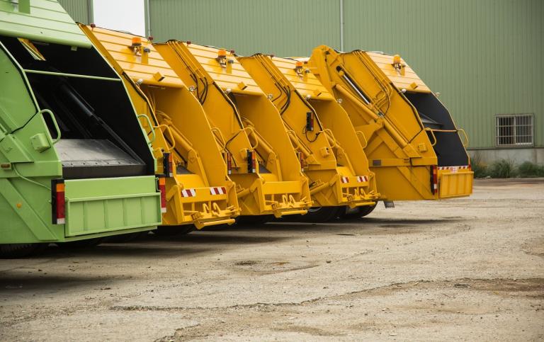
The environmental cost of removing all this waste is more difficult to calculate, but the more time trash trucks spend roaming the streets picking up all this waste, the greater the carbon footprint and production of harmful emissions.
So, improving solid waste management is an urgent issue. And many cities around the world are turning to smart solutions that use location data to help.
Belly good
Smart bins, or solar-powered trash compactors known as Bigbelly, are already in use across the globe, from Brooklyn, New York to Leeds in England and Queensland in Australia.
These bins use smart sensors to know when to begin compacting the rubbish and to alert the collectors when they're full – making the serving of the garbage collection much more efficient.
While the Finnish company Enevo has come up with 'waste solutions powered by technology and rooted in data'. Small, wireless sensors in their bins provide real-time data on how much waste they contain, then the Enovo One system crunches the numbers to work out the most cost-effective way to collect the waste from the bins based on the fill level, truck availability and traffic. Time and money are saved, carbon emissions and air pollution are reduced – it's brilliant use of location data.
Companies such as the San Francisco based Compology, 'the only camera-based dumpster monitoring solution built for waste, recycling and compost', and ecube labs, who have waste management projects everywhere from Seoul and Dublin to Shanghai and Baltimore, are also finding their waste collection innovation using location data and smart tech is in high demand.
Smart paths to sustainability
In Denmark, Copenhagen has devoted a whole block of the city center to studying the issue as it bids to become a central hub for the development of sustainable solutions to aid future urban challenges. Copenhagen Municipality teamed up with French company Citelum, Cisco and TDC Erherv to equip its 'Smart Lab' area with measuring sensors in waste bins, which when combined with WiFi data can provide a unique insight into the city's condition.
A smart city is equal to a sustainable city said Copenhagen deputy mayor Morten Kabell, and the Smart Lab ensures we can take advantage of the potential in new digital solutions and perhaps plan to keep the city clean in smarter ways than today.
Some cities are making a continuous effort to give their streets an upgrade by installing sensors in rubbish bins.
Where does this rubbish story end?
The waste disposal problem doesn't end there, of course. The question arises, what happens to our trash once it has been picked up? Well, it depends on the city, but most often it goes to landfill, beyond that to recycling centers, waste-to-energy plants and composters.
The Trash Track project, run by the Senseable City Lab, installs GPS sensors in the waste itself to better understand where it goes once it has been disposed of and then picked up again.
Studying the location data of the removal chain is becoming as important as that of the supply chain and by making it more transparent the project hopes to promote behavioural change and encourage people to make more sustainable decisions about what they consume, while the qualitative findings from making our rubbish smarter can help improve waste management.
What's next?
The use of smart dust – tiny computers that can be smaller than grains of sand and are designed to function together as a wireless sensor network — is likely to become much more prevalent in the coming decades but it's still early days.
Through combining rich mapping data found in applications like HERE Real Time Traffic with robust fleet management solutions such as HERE Fleet Telematics, every city can better manage their waste needs while lowering their overall CO2 footprint for disposal.

Have your say
Sign up for our newsletter
Why sign up:
- Latest offers and discounts
- Tailored content delivered weekly
- Exclusive events
- One click to unsubscribe